


Day 3: took a walk, saw 2 deer and one unknown, possibly a spry ground hog. Watched football.
Day 4: Took the "long walk" (down to Coliseum Blvd, over to Clinton, up to Washington Ctr., and home). Watched football.
Day 5: Today we visited the Fallen Timbers Memorial in Maumee, OH. As I am gonna be putting in a LOT of pictures, you can learn about the battle
here. Me, I had more than enough trouble with the google maps, the Ohio tourism sites, and etc. trying to find out what was where and how you got in. The whole thing is sDay 4: Took the "long walk" (down to Coliseum Blvd, over to Clinton, up to Washington Ctr., and home). Watched football.
Day 5: Today we visited the Fallen Timbers Memorial in Maumee, OH. As I am gonna be putting in a LOT of pictures, you can learn about the battle
 et up in 4 parts, of which we visited 3: the actual battle site; the memorial; and Fort Megis down the way. After spending much of day 4 afternoon studying the maps, I was mainly confident of what I was doing; after all, it was 99% on US 24, eh?
We went to the memorial first. The memorial consisted of one main monument and 2 smaller ones. Each side saluted a different group involved. This side saluted Little Turtle and the indians.
 Here's Laurie at the main side.
 Cool, no?

The next monument was the Indian monument. This included Turkey Foot Rock, whose story you can read on the plaque.


This was to the west of the monument. On the east was the soldiers' monument, with all the names of the fallen, except for ten men they couldn't name.


Trails led far and wide down a bluff that was a good two miles from the river, despite one
website's claim that it "overlooked the rapids".(link)

The little white speck is the monument from the valley floor.
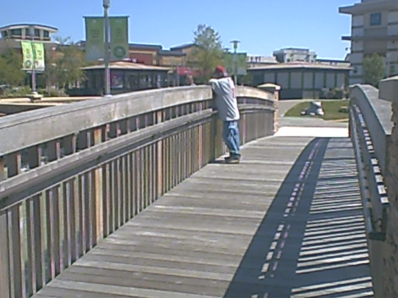
A foot bridge over 24 led to where the actual battle took place.

It was only when we got to the other side that I learned why the "access points" weren't on the map:
 And here I am showing the scofflaw streak we'd need later on.

So next we went on to Fort Megis, which withstood 2 out of 3 sieges by the Brits and their drunken indian footsoldiers in the War of 1812. There was an awesome monument to the soldiers from Pennsylvania who died here:

And here's the Fort itself. Not much different inside form outside, save for the monument.


 If Laurie looks a bit nervous, she was. You see, the visitor's center is closed on Monday and Tuesday, and so when we got to the fort's gate, we saw:

However, we also saw that the gate was wide open:

and went right on in. I wasn't coming back tomorrow, damn their eyes!
At any rate, then it was time to eat, and we went to the Fallen Timbers Mall, which is store-wise a lot like Jefferson Pointe. But the layout kicks JP's butt!


After a satisfying meal at Red Robin, it was home again and another well deserved nap.


No comments:
Post a Comment